
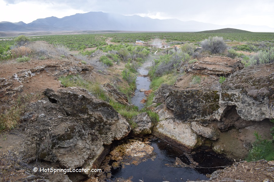
Reese River Hot Springs emerge from a travertine hillside in the Reese River Valley
Reese River Hot Springs is located 0.2 miles off Highway 305 in the Reese River Valley, 34 miles south of the town of Battle Mountain and 55 miles north of Austin.
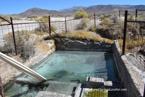
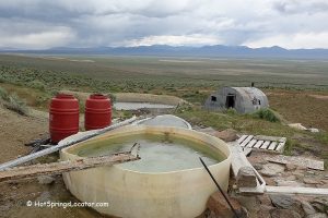
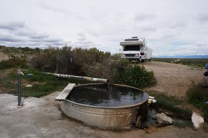
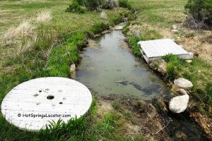
Geothermal water emerges from a travertine hillside at 125°F, forming a steamy, travertine-lined stream. The hot water is diverted from the stream through several pipes into a plastic tub.
As it flows, the water gradually cools and reaches the tub at approximately 105–110°F (41-43°C), depending on weather conditions.
Another metal tub is located nearby, but at the time of our visit, the water was too dirty to bathe in.

The geothermal water has a slight sulfur smell.
The hot springs are on private property. Day use is permitted, but camping is not allowed.
Please obey all posted signs and open and close the gate behind you. Help keep this place clean by packing out all your trash. If you have an extra bag, consider picking up any litter left by others.
A high-clearance vehicle is recommended for the last 350 yards of the road. If your vehicle can't make it, park near the gate and walk the remaining distance to the hot springs.

Places to Stay Near Reese River Hot Springs
Camping is not allowed at the hot springs. The nearest lodging is available in Battle Mountain, 34 mile north.

Reese River Hot Springs | Facts
Location: 34 miles south of Battle Mountain • Northern Nevada • USA
Open: Year-round
Development: Primitive
Clothing: Optional
Amenities: None
Hiking distance: From 0 to 0.2 miles
Road Access: Any vehicle
Day-use fees: None
Elevation: 4,900 ft (1,494 m)
Water T° (source): 125°F (52°C)
Water T° (creek): 105-110°F (41-43°C)
More Adventures



Directions Reese River Hot Springs
From I-80 in Battle Mountain,
- Take Highway NV-305 and travel 33.8 miles south
- Just before a ranch and hills at milepost 54, turn right to a small road with a cattle gate
- Open and close the gate behind you and continue 0.2 miles by car or on foot.