

Wild Rose Hot Springs is a geothermal spot situated just off Highway 93
Wild Rose Hot Springs, also known locally as Carey Hot Springs or Milford Hot Springs, is located in central Idaho near the small town of Carey, about 10 miles away. The spring lies within the high desert landscape near the Craters of the Moon region.
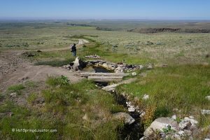
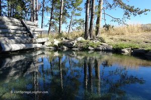
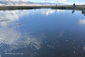
This natural hot spring forms a small oasis in the volcanic plains of central Idaho. Warm mineral water flows from hillside seeps and also bubbles up through the gravel bottom of the pool, which is approximately 8 by 15 feet and up to 4 feet deep, depending on sediment levels. During our visit in early September, the water temperature was about 100°F, though it can vary seasonally.
The surrounding landscape is shaped by ancient lava flows, and the pool is bordered by dark volcanic rock and gravel typical of the region.

Access conditions vary because the spring lies near private land boundaries, while public agencies manage the surrounding areas. Because of this, access may change at any time depending on land use and permission status.
Parking is available at a small gravel turnout, with a short 100-yard walk to the spring. There are no on-site facilities, and the nearest services are in Arco, approximately 34 miles away.
🟡 Wild Rose Hot Springs is located in an area with uncertain public and private land boundaries. Although it is commonly visited, access is not officially secured and may be restricted or changed at any time without notice.

Wild Rose Hot Springs | Facts
Location: 10 miles northeast of Carey • Idaho • USA
Open: Year-round
Development: Undeveloped
Clothing: Recommended
Amenities: None
Hiking distance: Short
Road access: Any vehicle
Day-use fees: None
Managed by: No official management; located in a grayarea of mixed and unclear land ownership
Elevation: 5,000 ft (1,829 m)
Water T° (source and pool): 100°F (38°C)
Odor: None
More Adventures



Directions to Wild Rose Hot Springs
From Carey,
- Travel 9.5 miles east on Highway 20-26-93 to a gravel turnout on the left (the north side of the road).
Follow the trail toward the hill.