
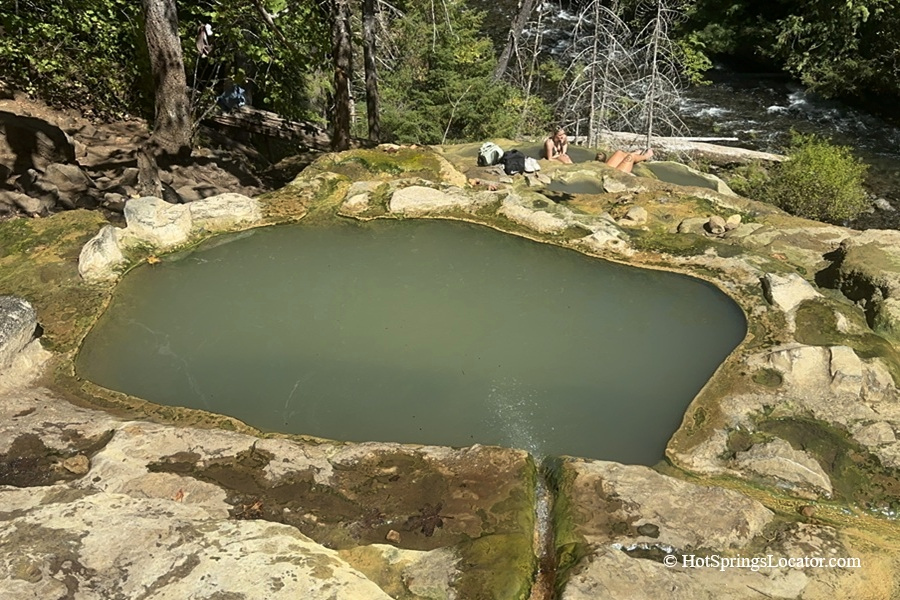
Umpqua Hot Springs is natural hot pools tucked into a forested hillside above the North Umpqua River
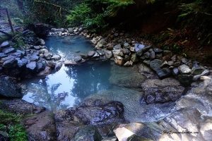
Located about 60 miles east of Roseburg, Umpqua Hot Springs is one of the most scenic hot springs in Oregon. The springs have formed a series of travertine pools on a cliff about 150 feet above the North Umpqua River.
A short 0.3-mile trail leads uphill to the hot springs. The trail is steep and can be slippery, especially in wet or icy conditions, so sturdy footwear is recommended.
The hot springs are open year-round for day use, but access can be affected by snow, ice, and road conditions in winter. The area is designated for day use only, and overnight use and camping are prohibited.
Please follow all posted regulations and help protect this popular natural site by packing out all trash and leaving the travertine formations undamaged.

Umpqua Hot Springs Soaking Experience
Hot water emerges through an active fault at temperatures of about 110°F to 115°F (43–46°C). The spring water is slightly acidic and contains a high concentration of dissolved minerals.
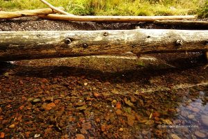
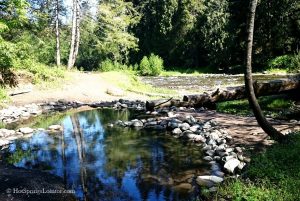
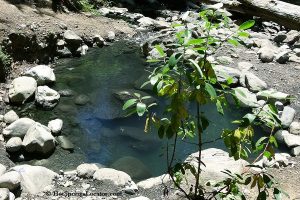
The hot springs consist of several pools of different sizes and temperatures that cascade down the travertine slope.
The upper pools are hotter, while the water generally becomes cooler in the lower pools.
Temperatures in the pools can range from about 100°F to 108°F (38–42°C). Be careful when walking between the pools because the wet travertine can be very slippery.
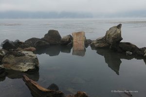
The setting is especially scenic, with pools perched on a hillside above the river and surrounded by forested mountains.
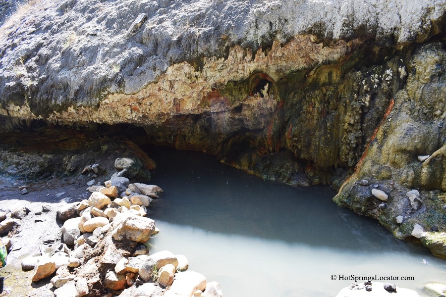
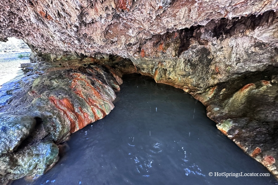
Near the river, a travertine grotto contains another pool that appears to have its own hot-water source. The water in this pool is typically 102–104°F (39–40°C), making it warmer than some lower-hillside pools.
The route from the cliff's top to the river and grotto is steep and can be slippery. Ropes are provided in some sections. Use extra caution on wet rocks.
From the riverbank, you can see Surprise Falls across the North Umpqua River. Some people have crossed the river here when water levels were low, but this is not an established or recommended route to the falls.
The river can be cold and fast-moving, and conditions can change quickly.
For a safer visit to Surprise Falls, use the established North Umpqua Trail and its designated river crossing.
Umpqua Hot Springs is a clothing-optional site; nudity is common.
The springs can become crowded, particularly on weekends, so an early or weekday visit may provide a quieter experience.
Umpqua Hot Springs – Things to Do
The area around Umpqua Hot Springs is filled with waterfalls, forested trails, lakes, and other natural attractions.
The North Umpqua Trail follows the North Umpqua River through the Umpqua National Forest. The trail passes through forests, along the river, and near several waterfalls, making it a great way to explore the area beyond the hot springs.
Highway 138, which runs through the Umpqua National Forest, is known for its many waterfalls.
Susan Creek, Fall Creek, and Slide Creek Falls are located east of the hot springs, and several can be reached by hiking trails.
Nearby, Toketee Falls drops in two tiers between dramatic columnar basalt cliffs, making it one of the area's most impressive waterfalls.
About eleven miles from the hot springs, Clearwater Falls offers a quieter setting, with clear water flowing over moss-covered rocks in a forested canyon.
Further east, Diamond Lake is a popular recreation area surrounded by forest and mountain scenery. The lake offers opportunities for boating, fishing, hiking, and camping, with views of Mount Bailey and Mount Thielsen.
Farther south, Crater Lake National Park offers a very different landscape, with deep blue water, cliffs, and wide scenic views. Crater Lake formed when Mount Mazama's volcanic summit collapsed thousands of years ago. The lake is the deepest in the United States and is surrounded by hiking trails, scenic roads, and viewpoints.
Umpqua Hot Springs: Camping, Lodging & Vacation Rentals
Camping is not allowed near the trailhead or hot springs. The nearest campground, Toketee Lake Campground, is about three miles southwest. It is generally open year-round and operates on a first-come, first-served basis, with reservations required during the peak season from June to Labor Day via Recreation.gov.
The campground has picnic tables, fire pits, vault toilets, and a boat ramp. However, drinking water is not available, so bring your own supply.
The nearest accommodations are in Roseburg.
Affordable vacation rentals for short and long term stay at Roseburg
Umpqua Hot Springs | Facts
Location: 63 miles east of Roseburg • Southern Oregon • USA
Open: Year-round from sunrise to sunset; The gate can be closed due to road conditions
Development: Undeveloped
Clothing: Optional
Amenities: None except a vault toilet at the trailhead
Hiking distance: 0.3 miles
Road access: Any vehicle
Day-use fees: Yes or N.W. Forest Pass
Managed by: U.S. Forest Service
Elevation: 2,640 ft (805 m)
Water T° (source): 115°F (46°C)
Water T° (pools): 100°F (38°C) to 108°F (42°C)
Water acidity level: Weak acidic (pH=6.37)
Springs Type: Sodium Carbonate Chloride
Average dissolved solids: 8,000 ppm
Flow rate: 20 l/min
Chemical used: None
| Cations Sodium (Na) - 2,400 Mg/L Calcium (Ca) - 340 Mg/L Potassium (K) - 63 Mg/L Magnesium (Mg) - 41 Mg/L Boron (B) - 2.4 Mg/L | Anions Chloride (Cl) - 3,500 Mg/L Carbonate (CO3) - 1,380 Mg/L Sulfate (SO4) - 190 Mg/L Silica (SiO2) - 90 Mg/L Fluoride (F) - 1.5 Mg/L |
More Adventures

Directions to Umpqua Hot Springs
From I-5,
- Take exit 124 in Roseburg
- Follow OR-138 for about 68 miles east to Toketee-Rigdon Road (Forest Road 34)
- Turn left at milepost 59 onto Forest Road 34
- Cross the concrete bridge, then continue on North Umpqua Road and Basket Buttle Road for about 2.2 miles to Forest Road 3401
- Bear right onto Forest Road 3401 and continue for about 2 miles to a parking area and trailhead on the left.
From trailhead, cross the footbridge over the North Umpqua River. Turn right and follow the trail for 0.1 miles to a junction. Turn right and follow the steep, narrow trail uphill for about 0.25 miles to the hot springs.
GPS (Hot Springs): N 43°17.808' W 122°21.822' | 43.2968, -122.3637
GPS (Trailhead): N 43°17.602' W 122°21.905' | 43.293, -122.3651